Geography and Development, Trade
Course Outline
Geography and Development, Trade
Taxes can reduce trade but so can mountains! What do we learn about trade and growth by paying attention to geography? This video also contrasts the different theories of trade offered by David Ricardo and Adam Smith. Ricardo is in the textbooks but Adam Smith's arguments may be more important.
Related Resources
Related Links
The Wind of Change: Maritime Technology, Trade, and Economic Development
American Economic Association | Research
The Geography of Poverty and Wealth
Scientific American | Research
Teacher Resources
Related to this course
See all Teacher Resources related to this course
All Teacher Resources
Subtitles
- English
- Spanish
- Chinese
- Hindi
Thanks to our awesome community of subtitle contributors, individual videos in this course might have additional languages. More info below on how to see which languages are available (and how to contribute more!).
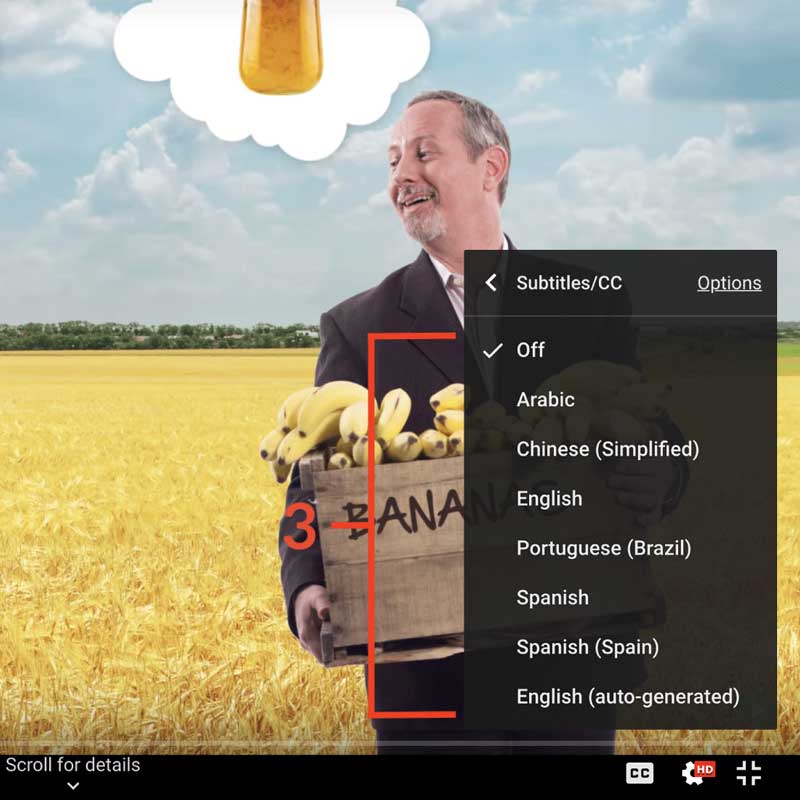
How to turn on captions and select a language:
- Click the settings icon (⚙) at the bottom of the video screen.
- Click Subtitles/CC.
- Select a language.

Contribute Translations!
Join the team and help us provide world-class economics education to everyone, everywhere for free! You can also reach out to us at [email protected] for more info.
Submit subtitles
Accessibility
We aim to make our content accessible to users around the world with varying needs and circumstances.
Currently we provide:
- A website built to the W3C Web Accessibility standards
- Subtitles and transcripts for our most popular content
- Video files for download
Are we missing something? Please let us know at [email protected]
Creative Commons

This work is licensed under a Creative Commons Attribution-NoDerivatives 4.0 International License.
The third party material as seen in this video is subject to third party copyright and is used here pursuant
to the fair use doctrine as stipulated in Section 107 of the Copyright Act. We grant no rights and make no
warranties with regard to the third party material depicted in the video and your use of this video may
require additional clearances and licenses. We advise consulting with clearance counsel before relying
on the fair use doctrine.